In Oakland, California, a busy city, there are many roads that get a lot of traffic every day. But with so much traffic, there’s a big problem: some intersections and roads are really dangerous.
We’re going to look closely at the places in Oakland where driving or walking is risky. We’ll use data on car crashes to show you which spots are the most dangerous and why they’re so bad.
We’ll also talk about what’s being done to make these areas safer and give you tips on how to stay safe when you’re moving around Oakland.
Notorious Oakland Intersections
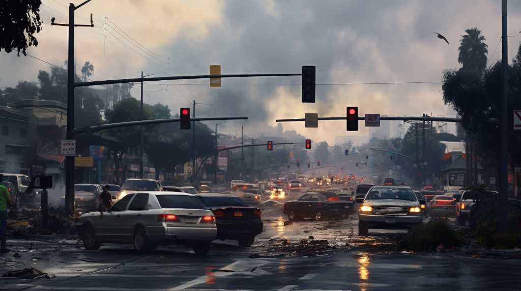
Several intersections in Oakland have gained notoriety for their high incidence of traffic collisions and pedestrian accidents.
Analysis of traffic data reveals patterns in the spatial distribution of these incidents, with a concentration at specific nodal points where vehicular and pedestrian traffic converge. These intersections display common risk factors, including inadequate signage, poor lighting, and complex traffic flow patterns that challenge both drivers and pedestrians.
Statistical models, incorporating collision and casualty figures, indicate that these intersections warrant immediate interventions. Urban planners and traffic engineers are tasked with interpreting this data to develop mitigation strategies, such as redesigning road geometries, improving signal timing, and implementing pedestrian safety measures.
The goal is to transform these high-risk intersections into safer zones, thereby reducing the occurrence of traffic-related injuries and fatalities.
High-Risk Roads Unveiled
In Oakland, three key roads are really dangerous. They’ve had a lot of car crashes and people getting hurt or killed. Experts looked at the number of cars on the road, past crashes, and how risky the roads are to find this out.
The first road, International Boulevard, is especially unsafe for people walking because there are lots of shops and many people walking around.
Then there’s MacArthur Boulevard, where cars often crash because they’re going too fast and the road design doesn’t help.
Finally, Foothill Boulevard is a place where many walkers and bike riders get hit.
This information tells us that we need to make these roads safer and make sure people follow the driving laws better.
Accident Statistics Analysis
In Oakland, there’s a clear problem with car crashes happening a lot at certain crossroads and roads. Studies that look closely at the numbers show these places have more crashes and they’re often serious. Experts have used advanced math, like Poisson regression, to figure out why these spots are so dangerous. They’ve looked at things like how much traffic there is, if drivers can see well, the way roads are built, and how traffic lights are timed. By mapping out where crashes happen with special computer programs for geography, it’s clear that there’s a bigger issue causing these clusters of accidents.
Also, more crashes happen during the busiest times on the roads, which shows that when there’s a lot of traffic, the road system struggles. Understanding the details of these crashes is really important because it helps the city decide where and how to make roads safer in Oakland.
Safety Measures and Improvements
In Oakland, the city’s transport team has begun making changes to make roads safer after finding out where most car crashes happen. They’re doing things like changing the layout of crossroads and putting up clearer street signs. This is all based on detailed studies of past crashes, which show exactly what causes so many of them.
For example, they’re putting in new traffic lights that count down for people walking, painting brighter lines for crosswalks, and starting programs to get cars to slow down. They’re also making streets more pedestrian and bike-friendly by taking away some driving lanes.
This is all part of a plan based on solid facts, aimed at reducing injuries and deaths on the road. The city keeps checking if these changes work and adjusts them if needed as traffic changes.
Navigating Oakland Safely
To stay safe on Oakland’s streets, both locals and visitors should be smart about how they get around. By using maps and traffic apps that show where accidents often happen, people can avoid those areas. These apps are great because they give you live traffic updates and tell you about any crashes or bad road conditions.
If you’re walking or biking, try to use routes with safety features like bike lanes and crosswalks where you can see everything clearly. It’s really important to follow traffic rules, like speed limits and stoplights, to lessen the chance of accidents. Also, try to travel when it’s less busy to avoid heavy traffic.
When we all use these smart strategies, which are based on actual data, we make getting around Oakland a lot safer.
Conclusion
Looking at the dangerous streets and crossroads in Oakland, California, it’s clear we need to make changes to keep people safe. The number of crashes happening in certain spots tells us we need to act fast.
By putting in safety features like better traffic lights or crosswalks, we can help prevent accidents.
It’s also important to keep an eye on these areas and use the latest information to make smart decisions about road safety.
This way, Oakland’s streets can become safer for everyone who uses them, whether they’re driving, biking, or walking.